


| Int. Nummer | |
| Funktion | |
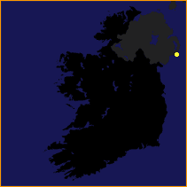
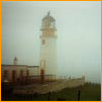
| Position | 54° 13.6' N 005° 39.5' W |
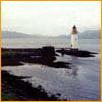
| Ort | County Down |
| Baujahr | |
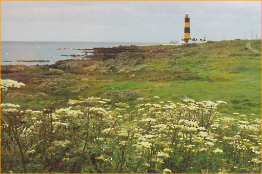
| in Betrieb seit | 1844 |
| Kennung | IQ (2) W 7.5s |
| Lichtstärke | |
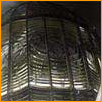
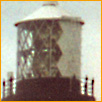
| Optik |
|
| Nenntragweite |
25 sm |
| Feuerhöhe | 37 m |
| Bauwerkhöhe | 40 m |
| Durchmesser | |
| Material | |
| elektrifiziert | 18. Februar 1981 |
| automatisiert | 31. Mai 1981 |